Rivercast - How Does It Work?
Rivercast™ is a free app that displays the latest river levels of US rivers.
How does it work?
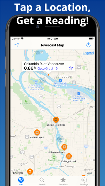
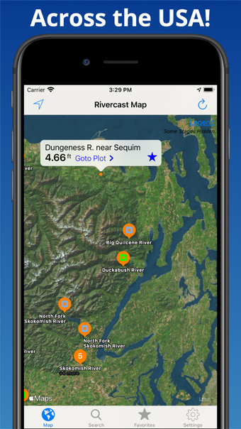
Rivercast™ uses the latest data from the USGS to find the best places to place the river gauge.
You can set your location as you see it and set the color of the gauge. The color will change when the location you are viewing is above or below the current level.
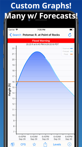
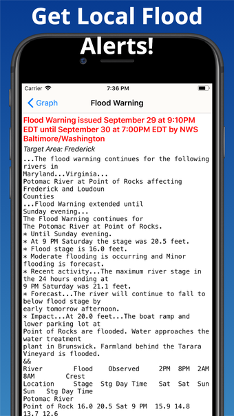
If you want to get a more detailed view, tap the graph to zoom in, out, or pan.
What does the river gauge say?
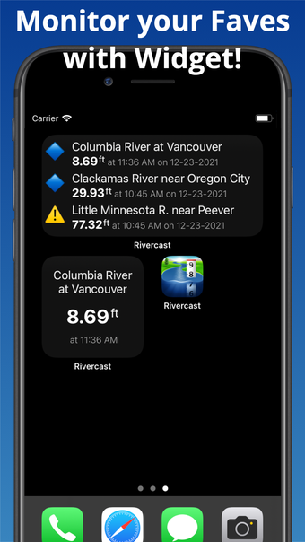
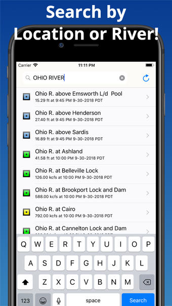
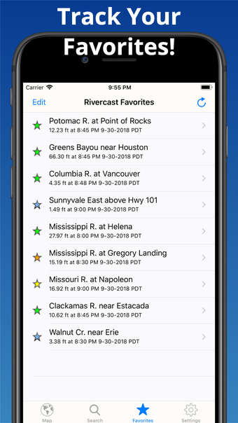
At a glance, you can view the actual river levels in feet or cubic feet per second (CFS). You can add the river, stream, or lake that you would like to keep track of to your Favorites list. When you select a river, you can see it’s current level, forecast, and the location of the gauge.
The gauge data is provided by the USGS. It uses the latest available data and requires an Internet connection for use.
It uses the latest observations and forecasts and is based on your local time.